UAV Service & 3D Scanning
LRS Drone Mapping Services
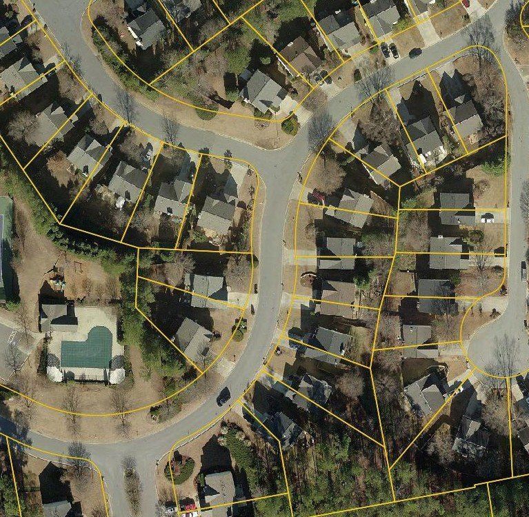
Just about anyone with a drone can collect data, but it takes the knowledge of a Licensed Professional Land Surveyor to ensure the UAV data is correct, then to analyze, review and verify it to produce accurate calculations and maps. To verify our drone mapping data, LRS Surveying anchors the image's to ground targets (control points) established from traditional survey techniques and equipment to confirm the scale and the integrity of our data.
- Aerial Drone Mapping and Photography
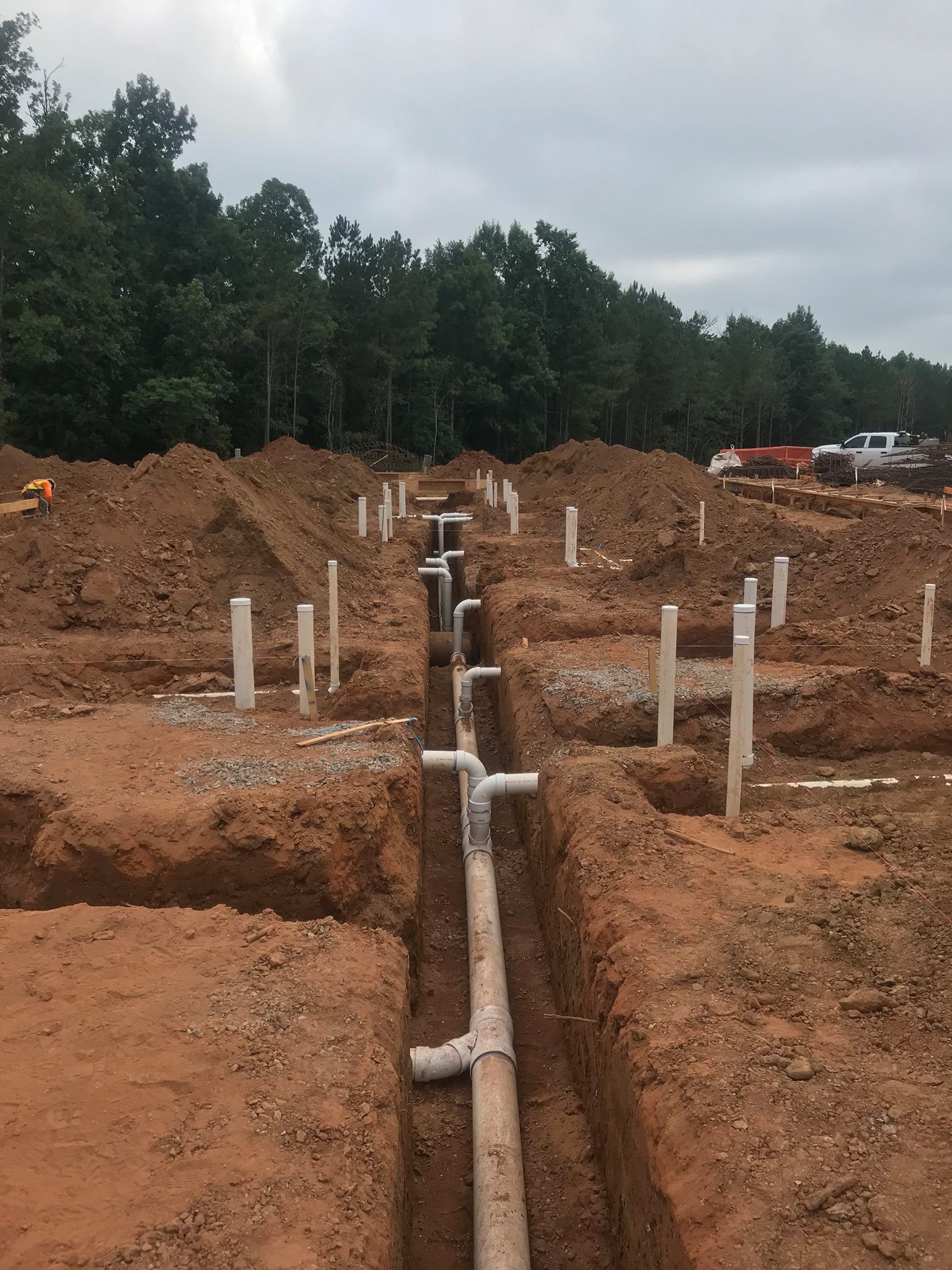
- Monitoring Construction
- Aerial Inspections and Drone Mapping (Roof's, Cell Tower's, Utility Lines, Bridges and other hard to get to areas.)
- Aerial Photo's/Video
UAV's are also ideal for aerial Mapping services, Topography, and Volumes at Quarry's, Mine's, Landfills and other Industrial sites. Have stockpile, pits, or inventory that needs to be calculated monthly, quarterly, or yearly? UAV can cut the field time from weeks to days with less time on site. Let us put our decades of Mapping experience to work for you.
Laser Scanning
Laser Scanning, also known as High Definition Laser Scanning, is much faster than traditional surveying. This method captures millions of points per scan while a conventional survey is based on only a few hundred points and is the standard for 3D design services. High Definition Laser Scanning provides more data, accurate maps, and 3D viewing/design tools and can be converted to AutoCAD or other CAD formats. You no longer limited to 2D plans. With our High Definition Laser Scanning Services, we can now provide the solutions to capturing and viewing your site in 3D. This method of scanning is ideal for:
- Volume Calculations
- Topographic Mapping
- Piping or Mechanical As-Builts
- Deformation Studies
- Architectural/Historical Recreations
- As-builts of Complex building, equipment, and piping
LRS Surveying is committed to bringing survey grade accuracy to the world of laser scanning services. Having performed thousands of Laser Scans we understand the value it can bring to your project. Give us a call to learn how we can help you.


